
Hydrogeological Assessment
Beneath every square metre of land is an important resource that needs to be understood and protected. Our hydrogeological assessments study the geological and groundwater conditions of a site to support groundwater development, project planning and responsible water-resource management.
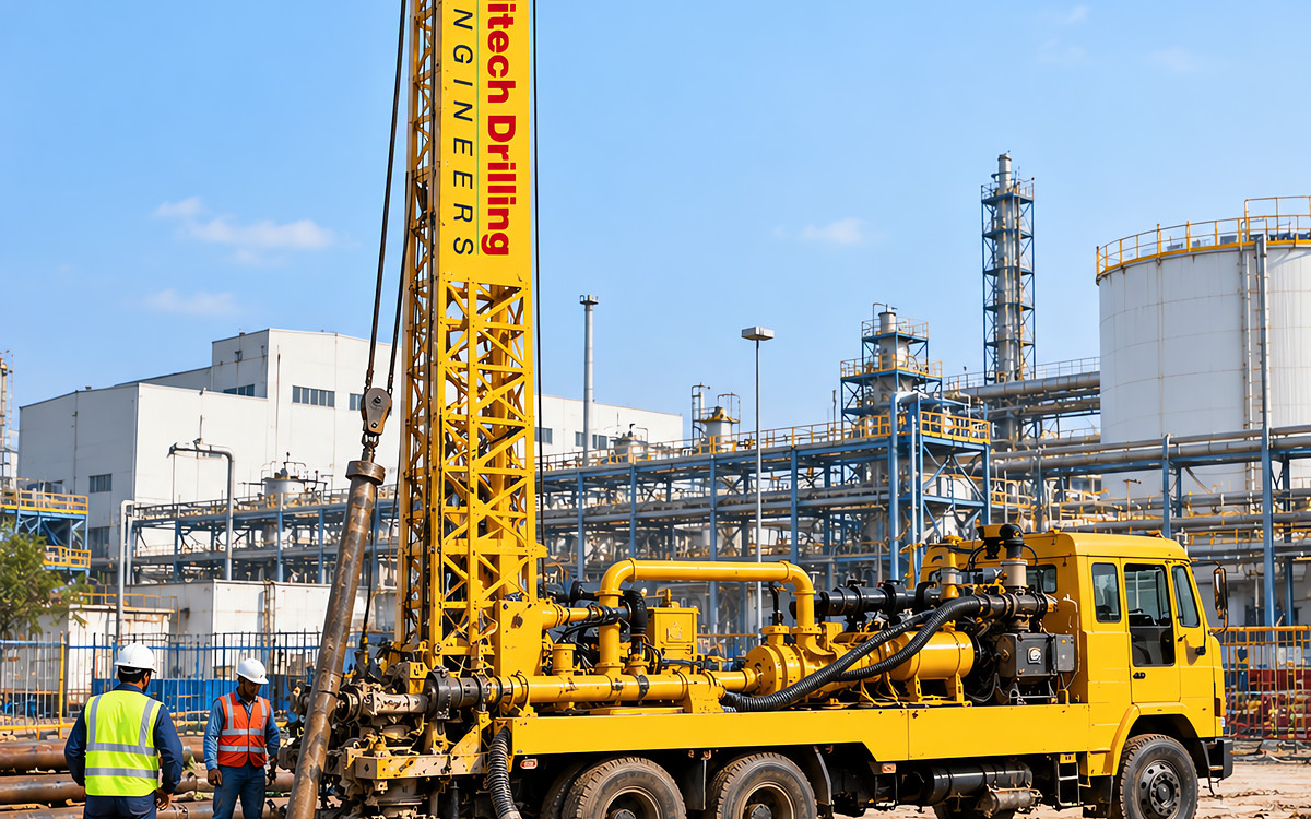
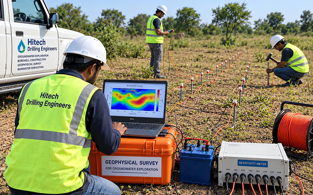
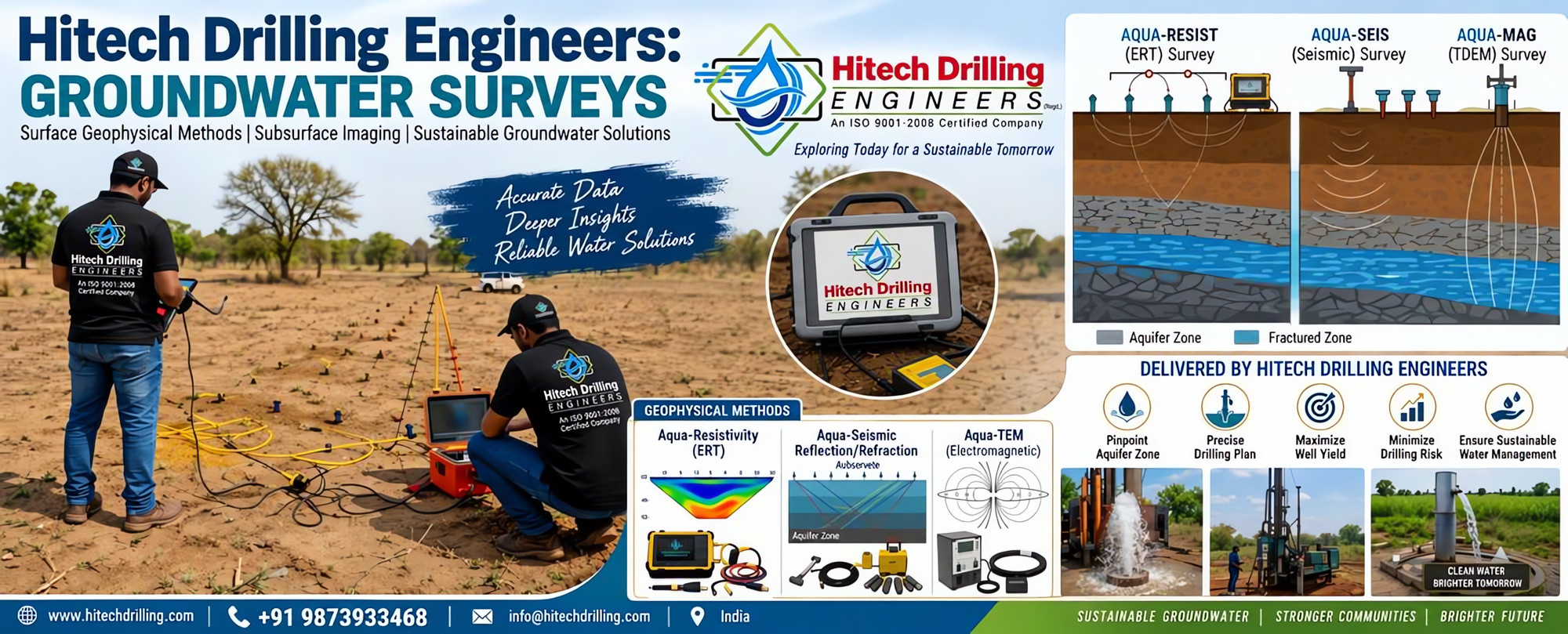
Our team combines geological understanding with field experience to evaluate aquifer characteristics, groundwater levels, recharge potential and the suitability of a site for groundwater development. Where integrated investigation is required, potential zones are first demarcated through hydrogeological assessment of the area and then followed by resistivity data collection.
Assessment services
- Desktop and quantitative groundwater assessments
- Site-specific hydrogeological assessment
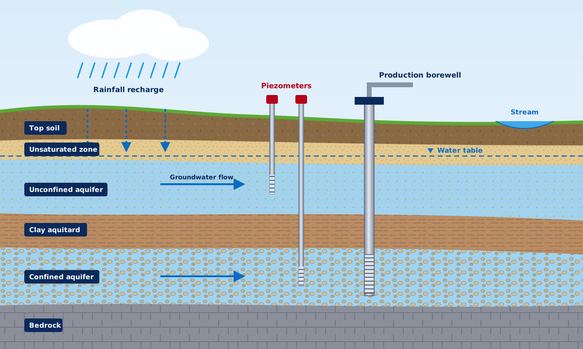
- Study of formations, aquifers and recharge conditions
- Assessment of groundwater quality indicators
- Groundwater development & recharge planning
- Long-term groundwater level monitoring programmes
- Remediation and recharge options assessment
- Technical inputs for project documentation
Why it matters
Hydrogeological assessment helps owners and project teams understand the groundwater potential and constraints of a site, reduces risk in groundwater-dependent projects and establishes baseline conditions for long-term monitoring and responsible use.
- Establishes baseline groundwater conditions for the site
- Supports planning of borewell locations, depths and numbers
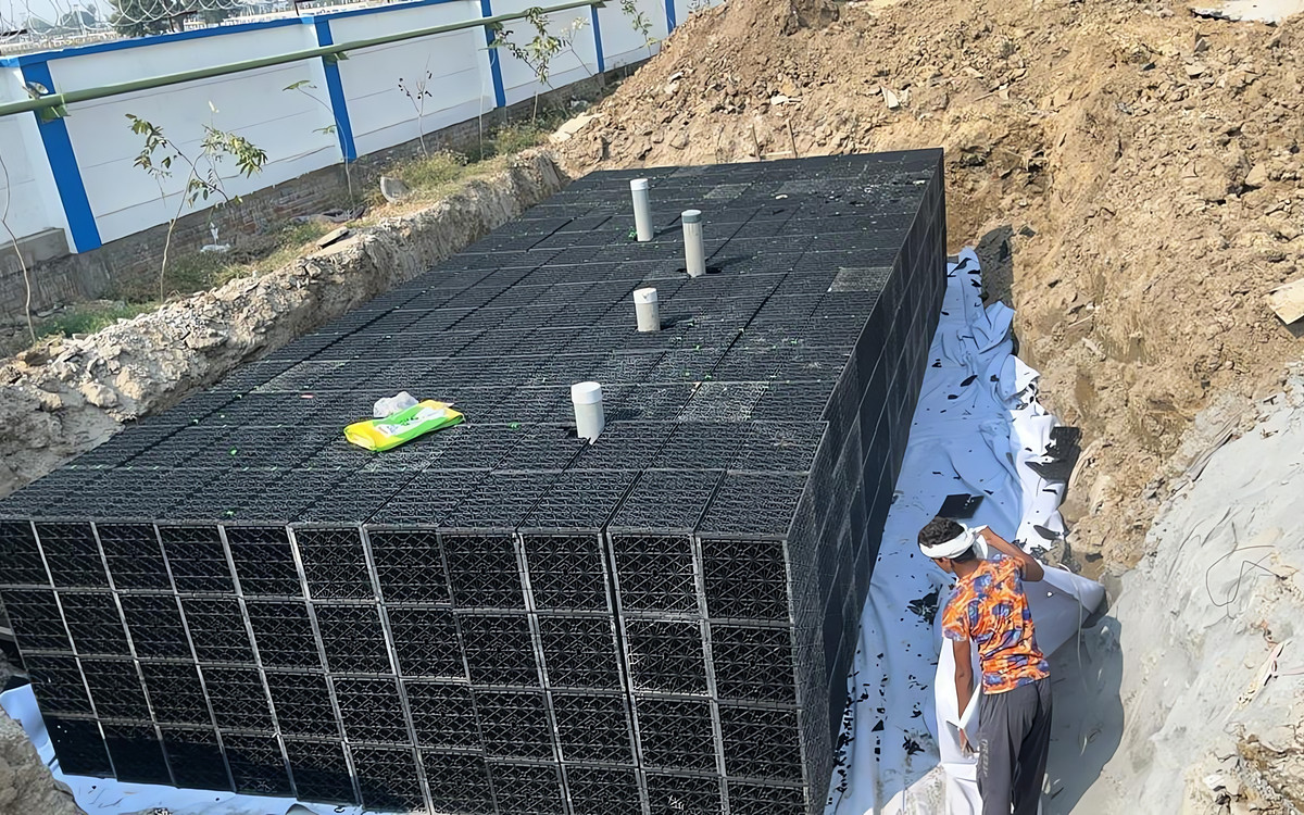
- Identifies suitable locations for recharge structures
- Helps manage long-term groundwater sustainability